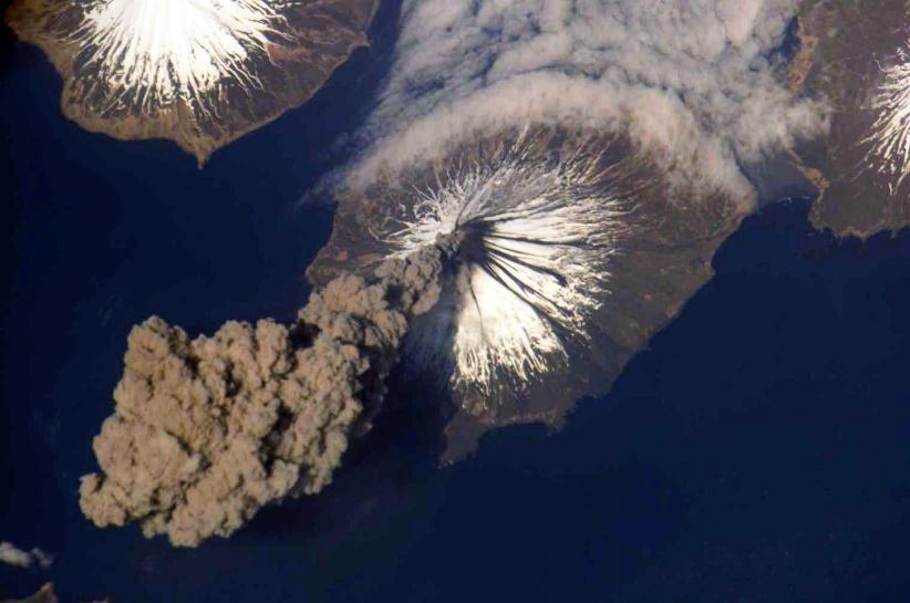
This 3-year NASA funding will provide support for Trish, and co-I Zhong Lu (Southern Methodist University), to build a data assimilation framework for six high-risk volcanoes in Alaska. Although remote, these volcanoes pose a hazard to the ~50,000 airline passengers that fly overhead every day along circumpolar flight paths. Satellite InSAR (Interferometric Synthetic Aperture Radar) data and GPS data will be optimized for use with sophisticated physics-based models to build “hindcasts” of historical eruptions from these systems. Eruption precursors and historical stress thresholds will be evaluated to provide a baseline for future activity. The goal of this research effort is to develop forecast models that will eventually be incorporated into real-time monitoring efforts in collaboration with the Alaska Volcano Observatory.
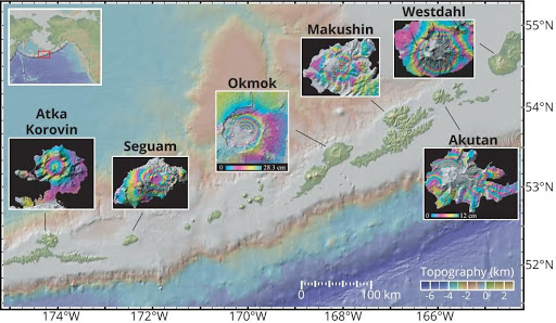
Volcano targets along the Central-West Aleutian Volcanic Arc. Satellite InSAR deformation images of the selected volcanoes from west to east: Korovin Volcano, showing more than 4 cm of inflation associated with elevated seismicity from July to September 2006. Seguam Volcano, showing surface uplift of more than 6 cm during 1999–2000. Okmok Volcano, showing deflation of ~1.2 m associated with the 1997 eruption. Makushin Volcano, showing ~7 cm of surface uplift associated with a small explosive eruption in January 1995. Akutan Volcano, showing the complex deformation that accompanied an intense earthquake swarm in March 1996. Westdahl Volcano, showing inflation that occurred aseismically during 1993–1998. Interferograms are draped over DEM shaded relief images; areas without interferometric coherence are uncolored. Each fringe (full color cycle) represents 28 mm of line-of-sight range change (unless specified otherwise).